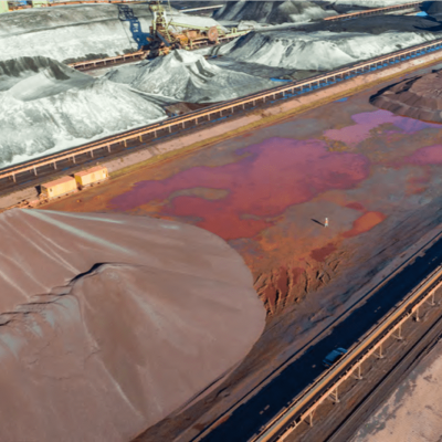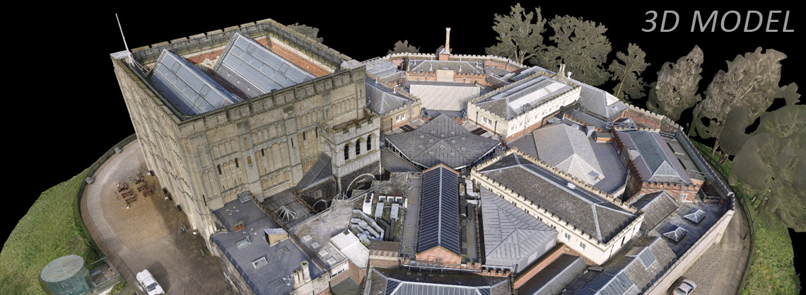
At Skeye, we can use our drones and photogrammetry expertise to build high quality 3D models. 3D Models can be as simple as a 3D topographic map, however, we can also create detailed 3D models of cities, buildings, bridges, or other structures for your survey or inspection needs.
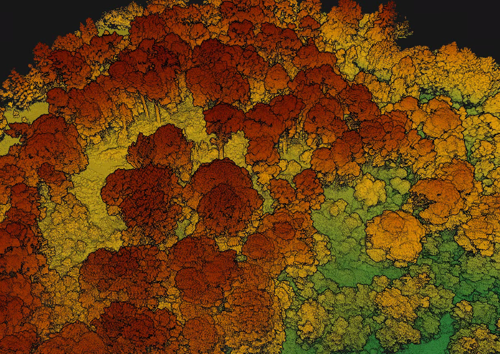
Using drones for 3D modelling means that every surface in the area of interest can be captured. As drones can fly at low altitudes, they can capture structures from every angle, therefore resulting in a very high resolution 3D model, even underneath overhanging structures or bridges.
For larger scale projects (e.g. city modelling) a manned aircraft is an ideal solution. Manned aircraft provide the opportunity to cover large areas without limitations you will encounter using a drone in a city. The capability of manned aircraft to fly at higher altitudes decreases the data capture time required for the creation of your 3D Model.