Stockpile Volume Calculations

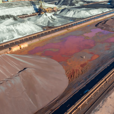
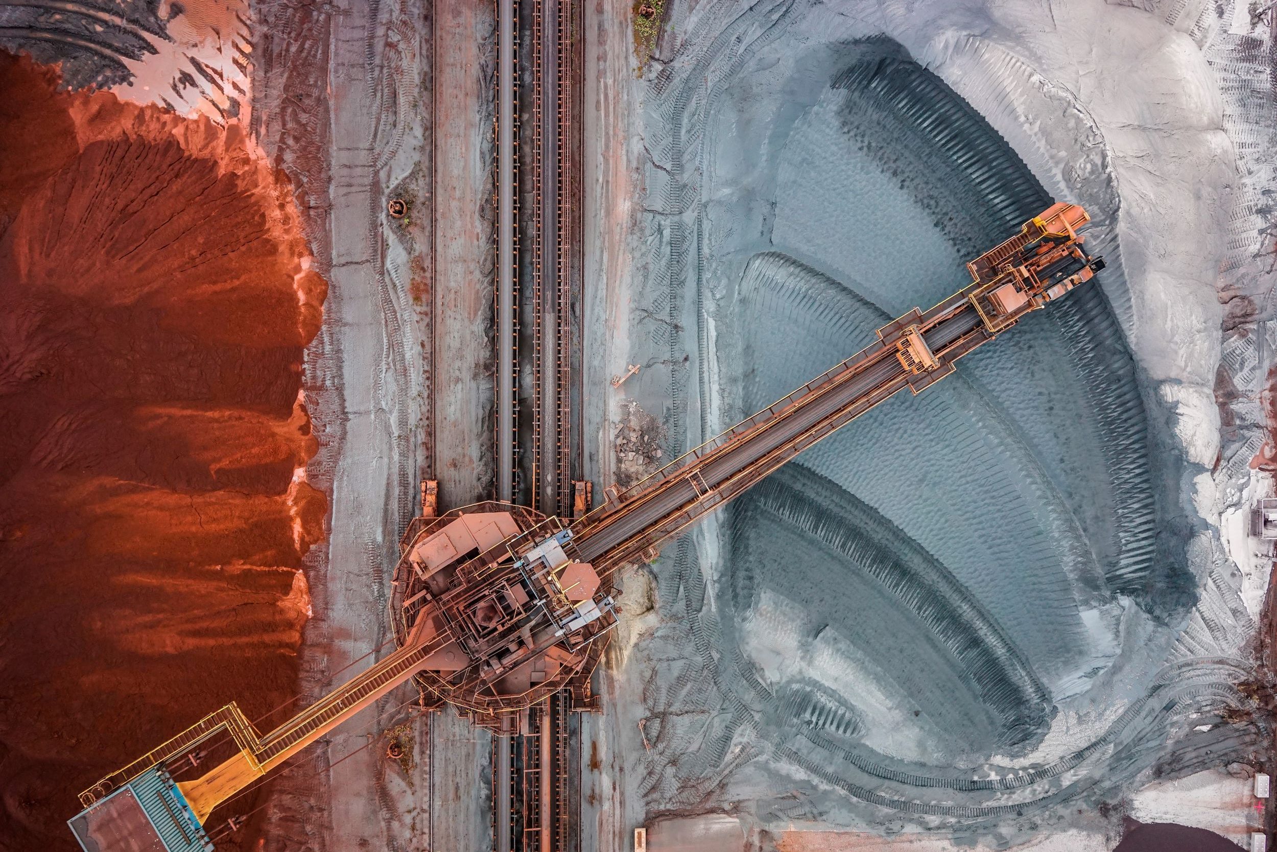
Drones are a key tool for volumetric analysis and stockpile measurements. Using drone technology, stockpiles can be monitored faster, more accurately and in a safer manner than using traditional techniques. Traditionally, stockpile volumetric analysis involves manual, ground based data collection methods which can be time-consuming and potentially dangerous.

Using aerial photogrammetry, or LiDAR systems, Skeye can provide high-resolution survey maps of stockpiles (less than 1 cm ground sampling distance (GSD)). Using this data, Digital Surface Models can be created, which are utilised for the calculation of stockpile volumes, relative to ground level.

Drone applications for stockpile measurements provide a full description of stockpiles, in detail. In many real-world situations stockpiles do not conform to regular, perfect shapes. However, photogrammetry provides high-resolution data, where the size of each pixel is known, therefore even irregular shaped stockpiles can be calculated with centimetre accuracies.

The use of drones provide many benefits over traditional techniques, including, but not limited to:

  • Faster data acquisition
  • Improved worker safety
  • Centimetre accuracy over entire stockpiles
  • Frequent repeat monitoring

Related posts

Photogrammetric Surveys

Read more

LiDAR

Read more

3D Visualisation

Read more