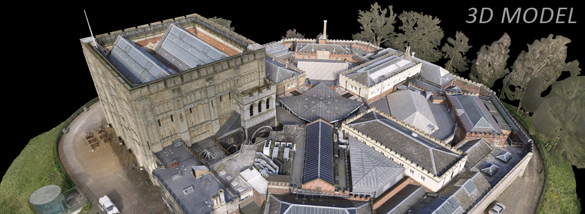
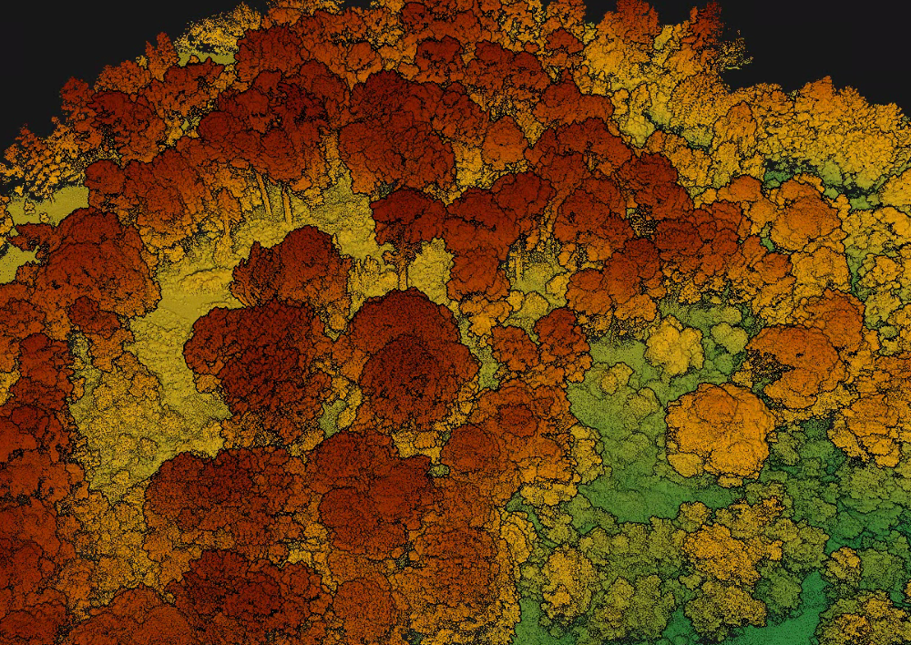
Skeye uses the latest UAV LiDAR technology to provide clients with extremely high quality 3D point clouds at survey grade. The LiDAR data is classified by our dedicated data processing team to show ground levels beneath vegetated areas. The ability of the LiDAR to penetrate through vegetated areas combined with the efficiency and range of the UAV system makes this an extremely effective tool for high grade surveying in difficult areas.
LiDAR
Lidar is a surveying method that measures distance to a target by illuminating that target with a laser light and measuring the return signal. The difference between the time the pulse was sent and when the pulse was received is an indication of the distance of the target. The LiDAR sensor perform this task hundreds of thousands of times per second as the drone flies. The result is a high-density point cloud which provides a 3 dimensional representation of the area flown.
The subsequent LiDAR data can be further analysed to measure the intensity of each return signal from which our data analysts can use to classify the point cloud.