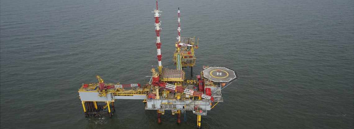
Skeye was asked to conduct an aerial 3D survey of an offshore platform in the North Sea on behalf of Shell. The survey consisted of two parts. One was to create a 3D point cloud and the second was to accurately check the position of the platform using GNSS readings.
The aim of the 3D survey was to see if any conflict would arise if a drilling rig were to be positioned over the platform complex. The as-build drawings do not always represent the current situation and if a conflict arises then it is a costly affair to have the drilling rig waiting for this to be resolved.
The positioning survey was to correct the positioning information. The platform complex was positioned many years ago when GNSS survey techniques were not yet common. Several coordinates were known but a check needed to be carried out to position all the elements of the platform. Two GNSS receivers were installed at several locations on each platform and logged raw data that was later post processed. Combine with the 3D point cloud the coordinates of all assets on the platform structure could be determined.