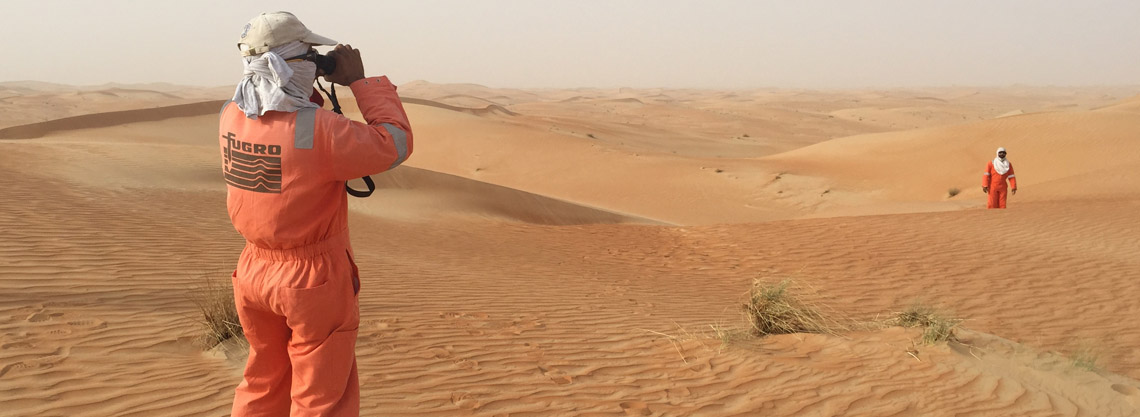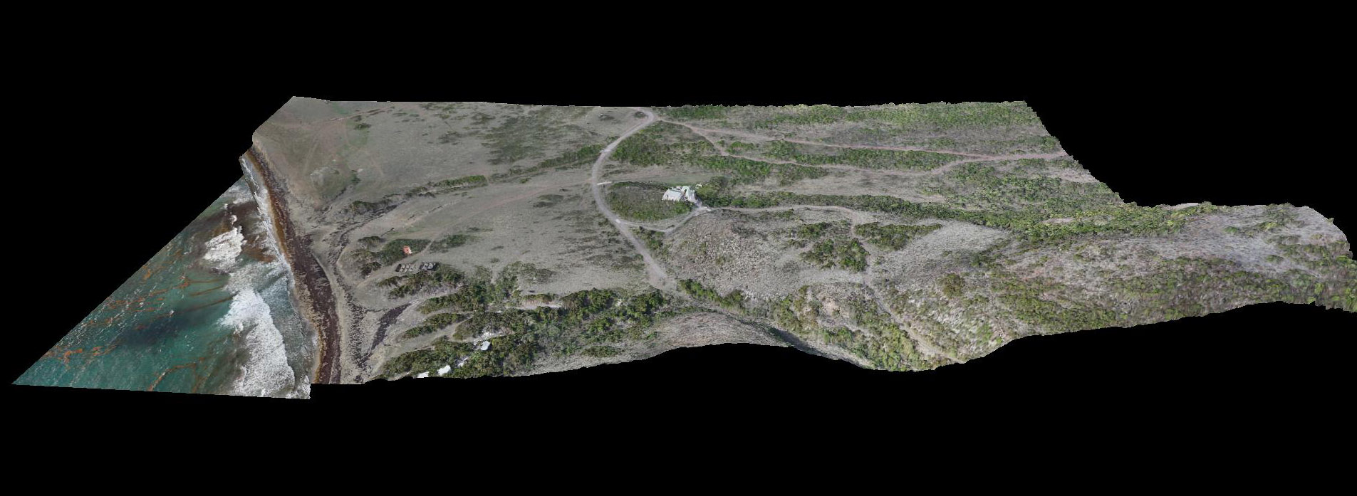
Skeye conducted a large LiDAR survey using a drone on the Dutch Caribbean island of Saint Eustatius. The aim of the survey was to obtain accurate terrain levels as well as an accurate aerial photograph at high resolution of around half of the island.
The area around the airport suffers heavily from erosion and the Dutch engineering firm Royal Haskoning DHV (RHDHV) was commissioned to perform a study on how best to stop the erosion. It was for this study that an accurate 3D terrain model of the island was required. The survey could not be performed by creating a 3D model using photography (photogrammetry) alone since a lot of vegetation is present on the island.
It took a LiDAR with multiple returns to penetrate the vegetation that enabled the creation of a 3D model based on ground elevations. For the creation of the aerial photograph a fixed wing drone with a high-resolution camera was used to create the imagery with a 2 cm resolution.